SolarPlus Webinar - Residential
SolarPlus Webinar - Off-Grid


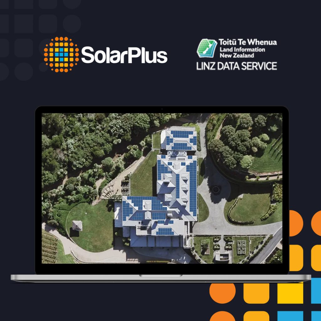
Get LINZ mapping free with SolarPlus
Take advantage of LINZ aerial imagery in your solar proposals!
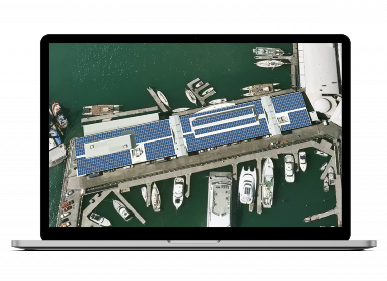
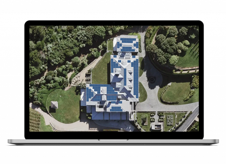
LINZ provides free aerial imagery that works seamlessly with SolarPlus proposals.

How does LINZ Work with SolarPlus?
Create a seamless solar design workflow

Take your quotes to the next level
Get the edge over competitors with NZ’s most current aerial imagery from LINZ in your quotes
Seamlessly visualise solar panel design
It’s as easy as plotting points on a roof and importing your solar system package
Game changing imagery
Backed by SolarPlus Support
SolarPlus is here to help you get the most out of LINZ mapping for your solar system quotes and installations with training, webinars and other tips and tricks to help you produce solar system designs and quotes more efficiently
LINZ Imagery and SolarPlus System Design
Stunning proposals every time

Why Use LINZ Imagery?
Free Imagery
LINZ is a no brainer alternative to other, expensive mapping software solutions.
Differentiate from your Competitors
View your potential solar installation sites and show your potential customers something they haven’t seen in other proposals.
LINZ Mapping Features in SolarPlus
High resolution imagery available
Orthogonal views for maximum accuracy
New Zealand’s most current aerial imagery
Using LINZ and SolarPlus provides solar professionals with the full extent of photo imagery coverage in New Zealand.
Use LINZ aerial imagery in your SolarPlus proposals!
From Hard Work & Guess Work…
To Professional & Compelling Solar Quotes
What our customers are saying

“SolarPlus is an excellent tool and the team a pleasure to work with!”
Dino

“I can’t fault the panel layout tools. Absolutely awesome!”

Honestly mate, your tech support is f***in awesome!!!!
Book a Demo
Fill out the details below for a one-on-one demonstration from our expert team

